
Minetta Brook once ran aboveground in the Greenwich Village neighborhood of New York City. The stream was spring fed and emerged at 16th Street at Sixth Avenue and between 21st and 20th Streets at Fifth Avenue. These tributaries joined mid-block between 11th/12th Streets and Sixth and Fifth Avenues (closer to Fifth Avenue). The brook flowed through Washington Square Park (west of the Arch), south towards MacDougal, wound through Minetta Street and Downing Street, to King and just below Hudson where it split, pooled, and discharged into the Hudson River at present day Charlton Street between Greenwich and Washington Streets.
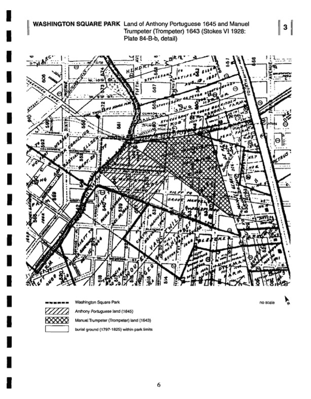
Before it was a park, a parade ground, and a cemetery, Washington Square Park was “a marsh fed by Minetta Brook.” The land has been described as “so undesirable” because the presence of the brook made it “low and wet” and only suitable for a potter’s or pauper’s burial ground (Maud Wilder Goodwin et al., Historic New York, 1897). Victims of the yellow fever epidemics in 1795 and 1797 were buried there.
In the 1820s, Minetta Brook was redirected from its original course and culverted in order to “dry out the soil” before constructing the park, wrote Julia Solis in New York Underground (2005). The “contained and underground” brook did not earn Washington Square Park any points in the natural systems and features category of the National Register rating system applied by Jablonski Berkowitz Conservation, Inc. in their 2006 Cultural Landscape Report for NYC Parks.
On the origin of the word Minetta, the NYC Parks website provides the following information:
Local Native Americans called the stream “Mannette,” which was translated as “Devil’s Water.” Over the years, this name was spelled and respelled and spelled again in a variety of configurations: Minnetta, Menitti, Manetta, Minetta, Mannette, and Minetto. The Dutch called the water Mintje Kill, meaning small stream. In Dutch, “min” translates as little, “tje” is a diminuitive, and “kill” translates as stream. The water was also known as Bestavers Killitie, Bestevaas Kelletye, Bestavens Killitie, Bestavers Killatie, and Bestaver’s Killetje.
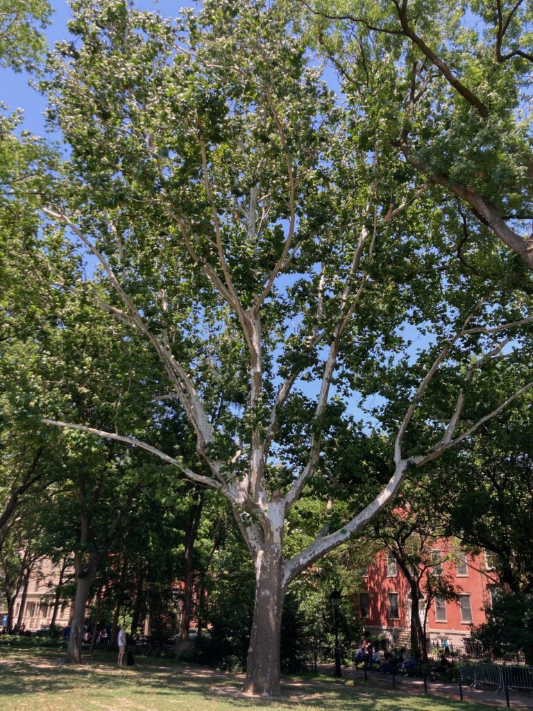
The brook can be “seen” in the curve of Minetta Street (between Bleecker Street and Minetta Lane; the latter is between MacDougal and Sixth Avenue). According to Hope Cooke in her 1995 book, Seeing New York, a dike to traverse the brook was built by freed slaves who settled along the brook on so-called “Negroes-lots,” i.e. lots located in the “swampland.” This dike is the origin of Minetta Street. Cooke speculates that trees in the park thrive because of the “underlying streams.” There is a large American Sycamore, a tree of riparian (river) and wetland habitats.
The brook survives in the names of several parks and playground in the neighborhood: Minetta Triangle, Minetta Playground, and Minetta Green.
A version of this post was originally published on March 31, 2011 at the Local Ecologist blog.